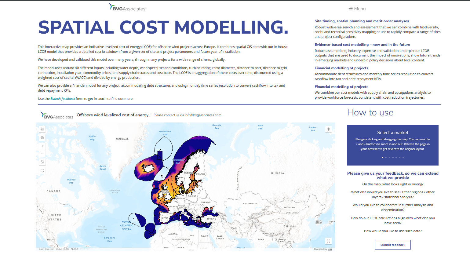
Our new interactive spatial cost modelling tool on our website brings together GIS data and our in-house LCOE modelling. It shows how location and project characteristics can influence the economics of offshore wind.
Explore the map, compare different locations and see how factors including water depth, distance to port and grid, seabed conditions and wind resource can affect indicative LCOE.
Explore BVGA’s spatial cost modelling here: https://bvgassociates.com/spatial-cost-modelling/
We’d also love to hear what you think. What other regions, datasets or layers would make the tool more useful to you?